Landscape viewpoints
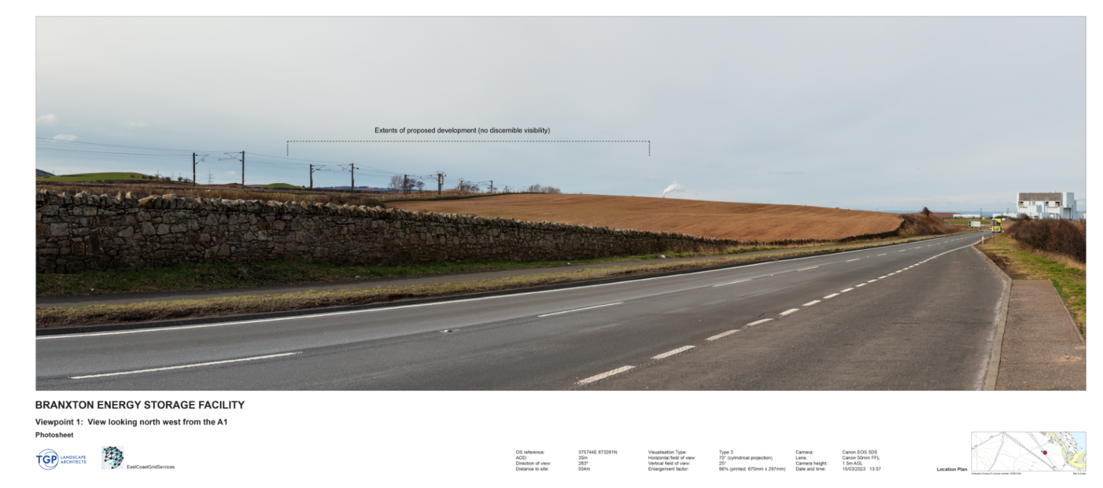
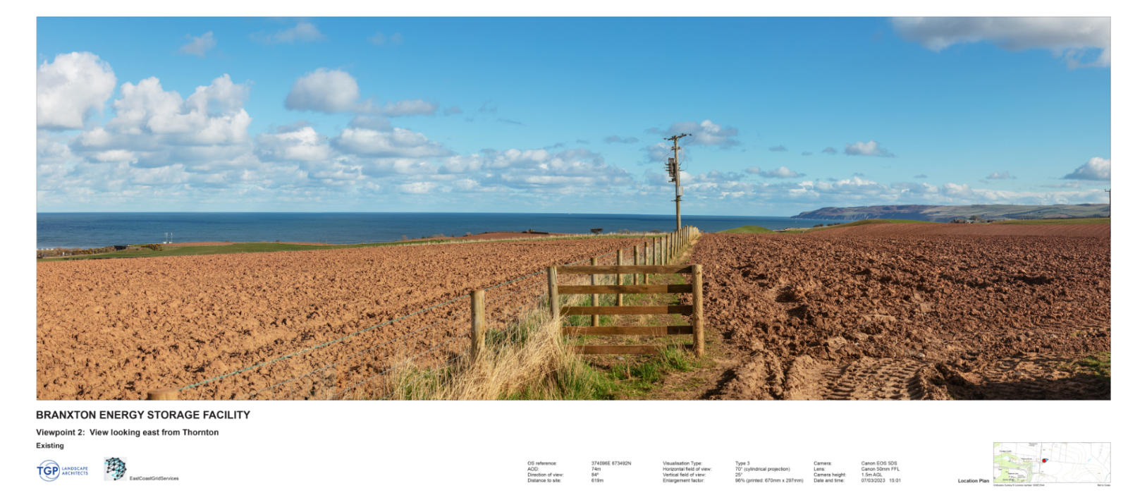
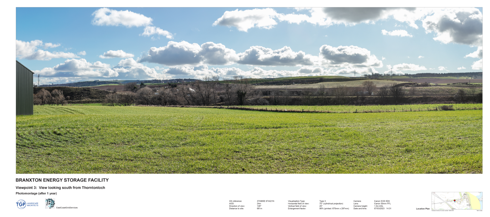
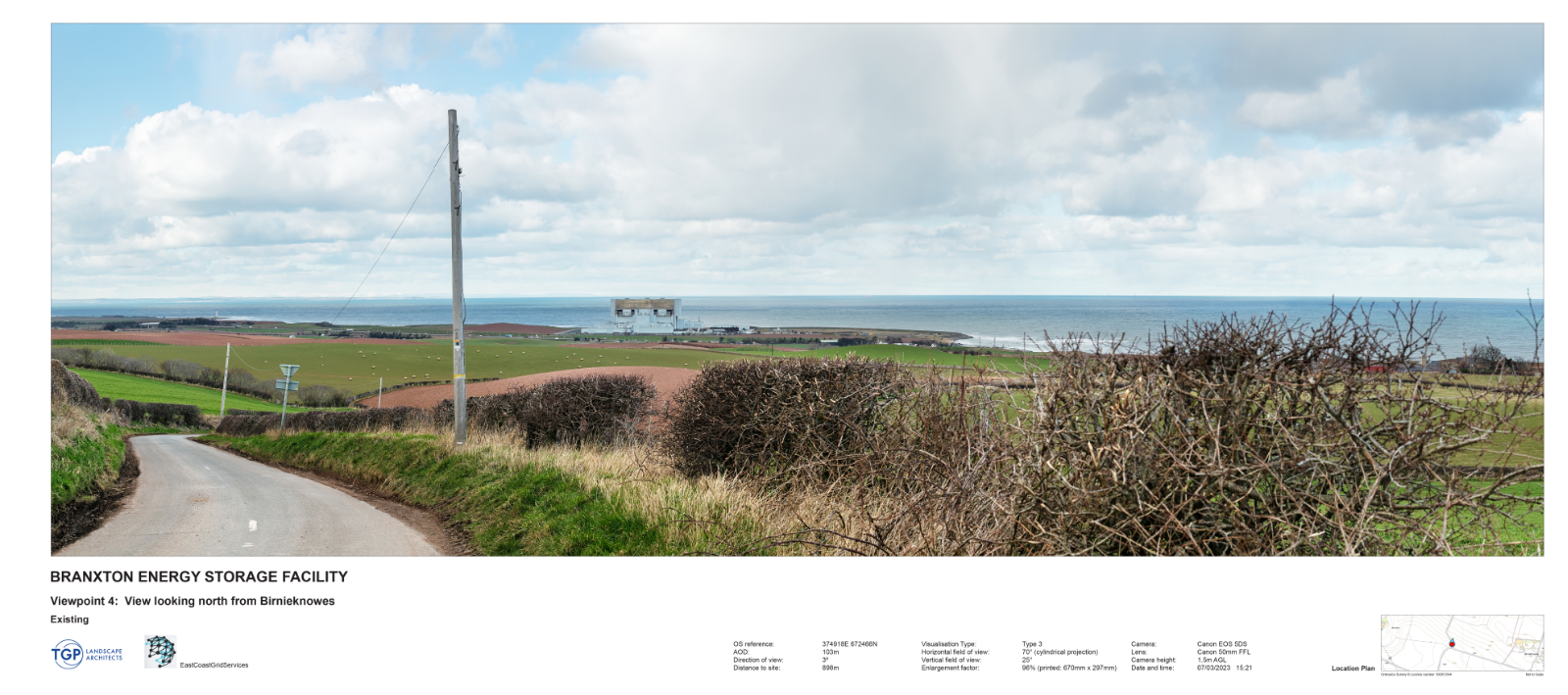
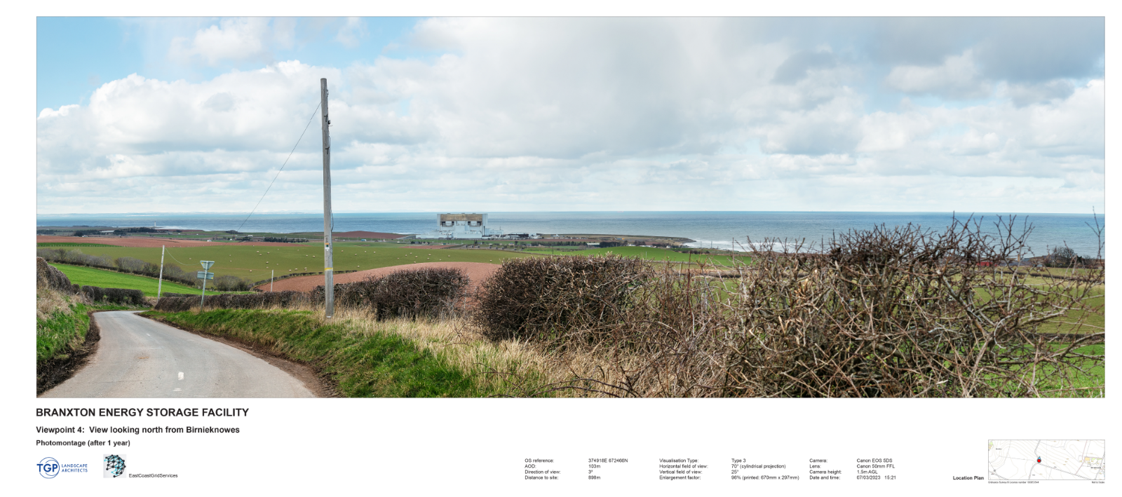
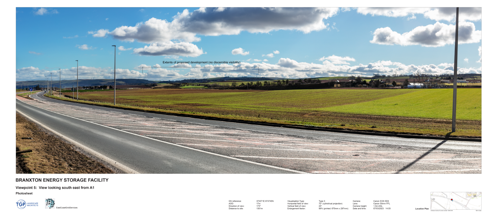
In consultation with planners at East Lothian Council, six representative viewpoints in the local vicinity of the project were chosen to assess the visual impact of the development and the locations of these are shown on the Zone of Theoretical Visibility plan below.
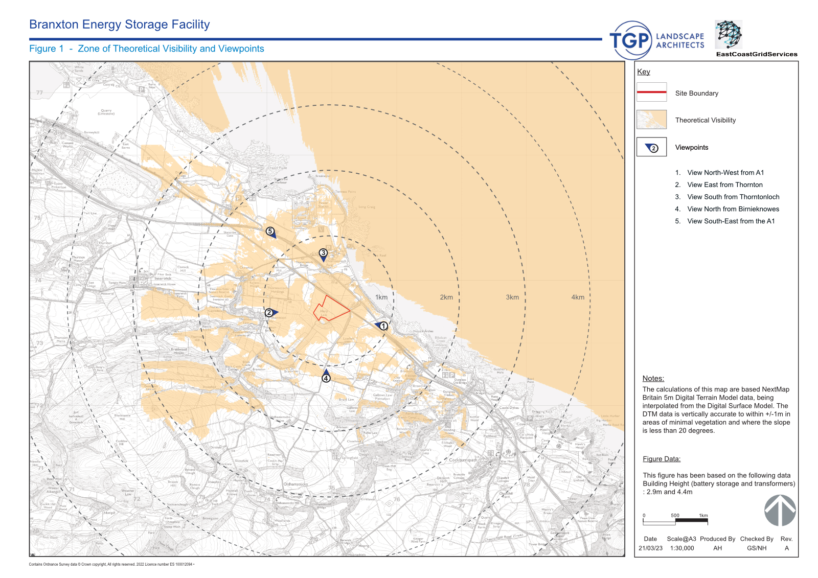
Zone of Theoretical Visibility
The Zone of Theoretical Visibility shown above is a bare ground ZTV based on mapping data of the underlying land without screening from vegetation such as trees or building structures and as such denotes a worst-case visibility scenario.
In reality, visibility of any project elements is likely to considerably less than show on the ZTV plan.


Viewpoint 6: View north east from minor road near Braxton (after one year)

Viewpoint 6: View north east from minor road near Braxton (after ten years)
